Freycinet Collection
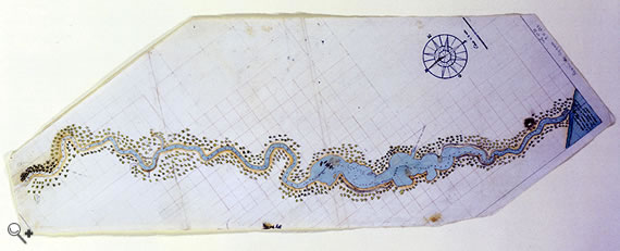
Swan River Chart
The first detailed map of the Swan River was drawn by François-Antoine Boniface Heirisson of the Naturaliste from direct observation after his journey by longboat along the Swan River from 17-22 June 1801.
Heirisson has included on the chart soundings along the entire length of his journey, and comments on the singular topography of the mouth of the river (the bar) referring to features seen along its course.


