Juniper Teacher Resources<
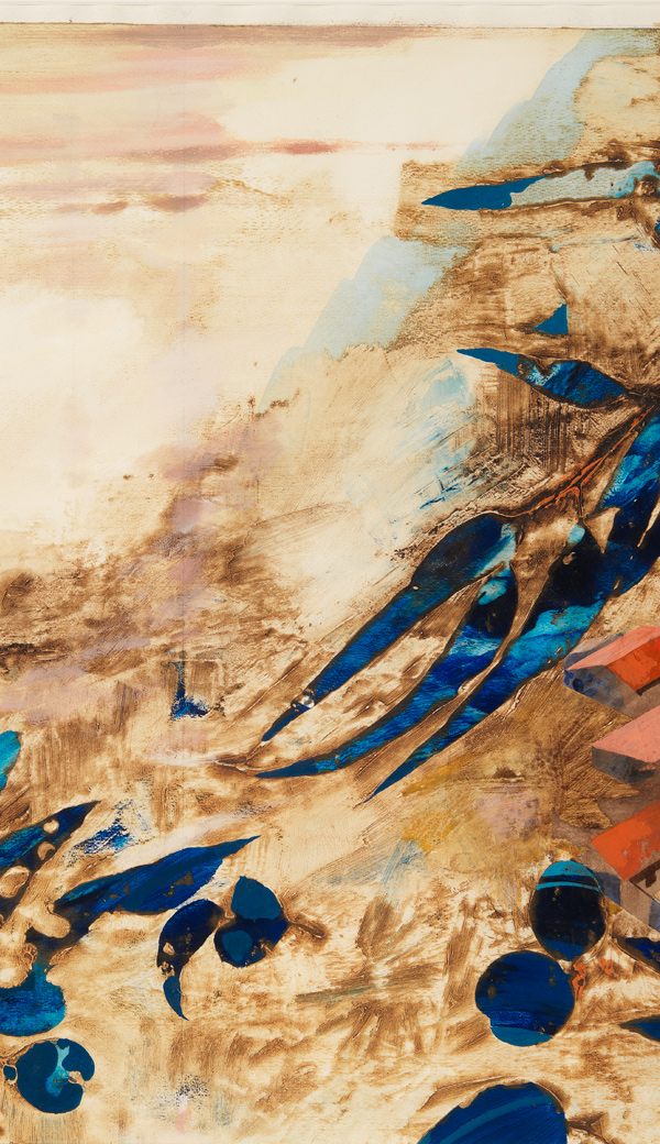
Through the clouds
Did You Know
- Juniper is well known for his aerial perspectives. He enjoyed flying in small plans and visualising the landscape and appreciated the aerial perspective found in many Aboriginal artworks.
Discussion Points
- Juniper has created depth in the painting by using the images of the bright blue gum leaves in the foreground. Why do you think this has the effect of creating dimension?
Activities
Visual Arts:
Making, Responding
- Use Junipers technique of flora in the foreground and use a vivid colour and create your own aerial painting.
Other Resources:
Aerial Photography
There are more than 5000 aerial photographs in the State Library collection. (available online)Did You Know
- Aerial perspective is used by many Aboriginal artists, often to record landscapes and sites of significance in their work. Traditionally this was a way to share knowledge maintain connection to sites. Symbols were used to denote important landmarks such as waterholes, hills, campsites etc.
Activities
Aboriginal and Torres Strait Islander Histories and Cultures:
Country/Place, Culture, People
- Research an Aboriginal Artist who records landscape in their work. Discover some of the meanings of the symbols contained in their work.
- Despite regional differences in how symbols were drawn, they often represented the same things: waterholes, plants, animals, campfires and people. Why do you think these things were marked? What makes them important?
- Make a map of your suburb or neighbourhood using symbols of your own creation. What symbol would you use for food? What do you think is important and should be on your map?
Other Resources:
Film
Documentary - Painting Country (available online)Recommended Books
Walmajarri Language Stories: Mangarriwu juju (digitised)Chart
Wongatha Symbol chart (DET) (requires your DET login)Activities
Mathematics:
Measurement and Geometry
- Location
Geography:
Geographical Inquiry and Skills, Geographical Knowledge and Understanding
- Use Google Maps to find your home or school. What else you see nearby? Record your observations?
Other Resources:
Pictures
Learning maths at Mt Margaret (digitised)Map of Mt Margaret drawn by child resident (digitised)
